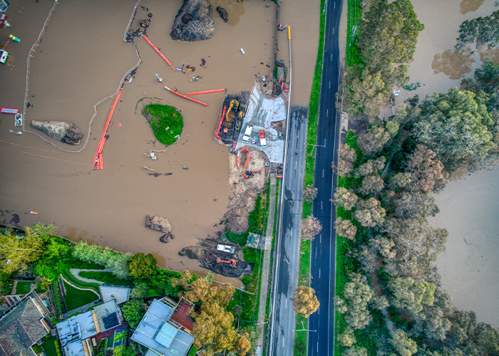
Floodplain Survey in Oregon State
Key Benefits of Our Floodplain Surveys
Our floodplain surveys are designed to meet the diverse needs of property owners, developers, planners, and insurance professionals. Here’s what we offer:
-
Accurate Mapping:
We create detailed floodplain maps that highlight areas at risk. These maps are invaluable for planners, developers, and property owners to make informed decisions about land use and construction. -
Comprehensive Reports:
Our reports include an in-depth analysis of flood risks, historical flood data, and projections of potential future scenarios. This analysis aids in long-term planning and risk mitigation. -
Regulatory Compliance:
We ensure that all surveys comply with FEMA guidelines, Oregon floodplain management laws, and other relevant standards. This simplifies the process of navigating regulatory complexities. -
Support for Development:
Our data supports safe and sustainable development in flood-prone areas, helping to minimize risk while maximizing opportunities for growth and investment. -
Insurance Assessments:
We provide essential information to determine insurance requirements and premiums, offering clarity for property owners and insurers regarding flood risks.

Our Floodplain Survey Process
We follow a detailed and systematic approach to ensure the accuracy and reliability of our floodplain surveys:
-
Initial Consultation:
We begin with a comprehensive consultation to understand your project’s specific needs and the property’s location within Oregon’s floodplain zones. -
On-Site Data Collection:
Using advanced surveying equipment, we gather precise elevation and location data, identifying critical floodplain boundaries and at-risk areas. -
Analysis and Mapping:
The collected data is analyzed and transformed into detailed floodplain maps, which highlight risk areas and provide actionable insights for planning and compliance. -
Regulatory Review:
We cross-check all findings against FEMA guidelines and Oregon’s floodplain management regulations, ensuring full compliance with state and federal standards. -
Comprehensive Reporting:
Our final reports include detailed maps, flood risk analysis, and recommendations for mitigating risks while supporting sustainable development.
Why Choose Us for Floodplain Surveys in Oregon?

Scott Fein, a licensed Professional Land Surveyor in Oregon, brings years of expertise and precision to floodplain surveys. Our team uses advanced technology to deliver actionable insights, detailed maps, and fully compliant reports. We’re committed to helping clients manage flood risks effectively while meeting all regulatory requirements.
Contact Us Today
Scott Fein is a licensed Professional Land Surveyor (PLS) in Oregon and is registered with the Oregon State Board of Engineering Examiners and Land Surveyors.
