Water Rights Pro
Scott Fein is a preeminent expert in water rights, with a deep-seated specialization in the permitting, conveyance, and development of surface and groundwater for beneficial uses.
As a Certified Water Rights Examiner and Certified Federal Surveyor (CFEDS), Scott brings authoritative knowledge and extensive experience to this critical field.
Transfers • Applications • Survey • Research & Analysis • Consulting
His expertise encompasses a wide array of water rights issues, ensuring that his clients receive precise and reliable guidance on the sustainable management and utilization of water resources.
Licensed as a Professional Land Surveyor in both Oregon and Idaho, Scott has dedicated his career to mastering the complexities of water rights.

Our Services
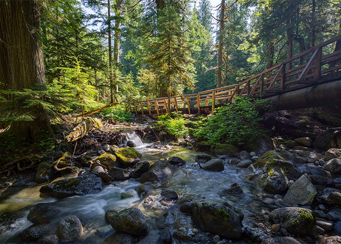
Water Right Transfers
We facilitate the transfer of water rights, providing comprehensive support throughout the process. Our services ensure that transfers are legally compliant and efficiently executed.
Learn More
Claim of Beneficial Use Survey
We help you establish and prove the beneficial use of water rights, ensuring compliance with Oregon state regulations. Our meticulous documentation and expert analysis guarantee that your water rights are recognized and protected.
Learn More
New Water Right Applications
We guide you through the process of applying for new water rights, ensuring that your application meets all legal and regulatory criteria. Our thorough approach increases the likelihood of a successful outcome.
Learn More
Water Rights Research & Analysis
Scott Fein’s Water Rights Research and Analysis service offers thorough due diligence, risk assessment, and dispute resolution to ensure the value and usability of your property are fully protected.
Learn More
Surveying & Mapping (GIS)
We offer comprehensive land surveying services, including boundary surveys, cadastral surveys, and geodetic surveys. Our state-of-the-art equipment and experienced team ensure precise and reliable survey results.
Learn More
Due Diligence Reports
Our due diligence reports provide detailed assessments of water rights, land use, and environmental conditions. These reports are essential for informed decision-making in real estate transactions, development projects, and other land-related activities.
Learn More
OWRD Reporting & Applications
Navigating Oregon’s water rights system requires careful attention to detail and comprehensive knowledge of the Oregon Water Resources Department (OWRD) processes.
Learn More
Water Right Permit
We assist in obtaining water right permits, ensuring that your use of water resources is legally recognized and protected. Our expertise in water rights law and regulations guarantees a smooth permitting process.
Learn More
Water Use Reporting
Our water use reporting services ensure that your water usage is accurately documented and reported in accordance with state regulations. We help you maintain compliance and avoid potential penalties.
Learn More
Water Level Measurements
Static and dynamic water level measurements are crucial for understanding your well’s health, detecting early signs of trouble, and planning for future water demands.
Learn More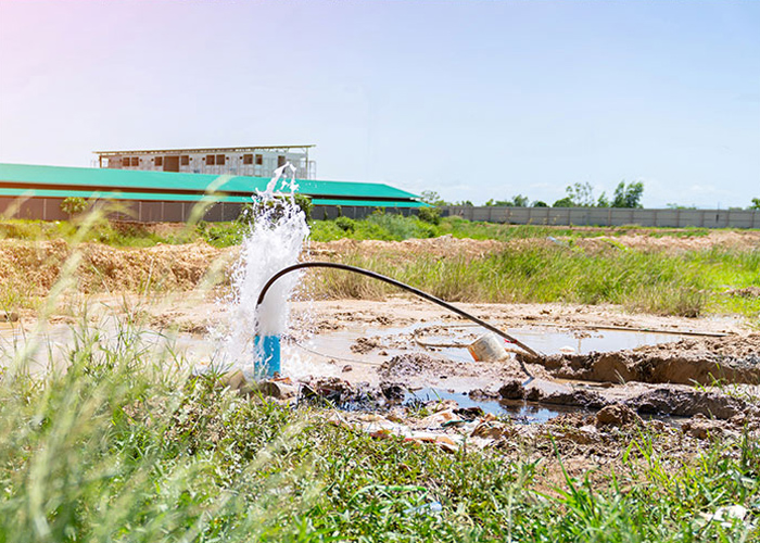
Well Flow Test
Our well flow test services provide precise and comprehensive data, essential for evaluating the performance and sustainability of water wells.
Learn More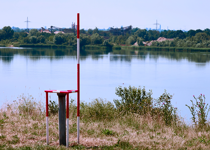
Wells Monitoring & Testing
We offer comprehensive wells monitoring and testing services to ensure the safety and quality of your groundwater resources. Our services include regular monitoring, water quality testing, and reporting to regulatory agencies.
Learn More
Land Use Consulting
Our environmental consulting services offer expert guidance on environmental regulations, sustainability practices, and impact assessments. We help you navigate the complexities of environmental compliance and implement effective solutions.
Learn More
Elevation Certificate
We provide elevation certificates that are crucial for floodplain management, insurance purposes, and building compliance. Our accurate and detailed certificates ensure that you meet all necessary requirements.
Learn More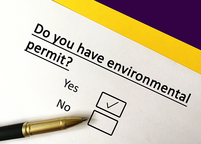
Environmental Permitting
We assist in obtaining the necessary environmental permits for your projects, ensuring compliance with local, state, and federal regulations. Our expertise streamlines the permitting process, saving you time and resources.
Learn More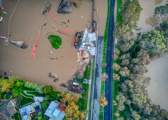
Floodplain Survey
Our floodplain surveys provide precise data for flood risk assessment and management. We deliver accurate maps and reports that support floodplain development, insurance assessments, and regulatory compliance.
Learn More
Mitigation
Our mitigation services focus on minimizing environmental impacts and ensuring compliance with regulatory requirements. We develop and implement effective mitigation plans to protect natural resources and support sustainable development.
Learn More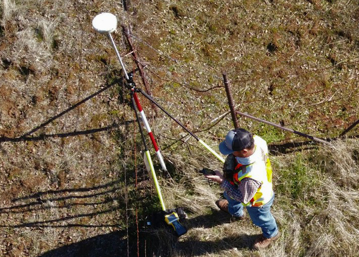
Property Boundary Survey
Property boundary surveys are vital for clearly defining your land limits in Oregon, where specific surveying standards apply. Understanding your boundaries is essential for building, dividing, or developing a property.
Learn More
Land Division
Planning a land division in Oregon? We specialize in subdivisions, partitions, and elevation certificates, ensuring compliance with local regulations and accurate results every step of the way.
Learn More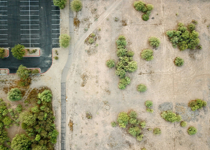
Lot Line Adjustment (LLA)
Lot Line Adjustment is a process that changes the boundaries between two or more parcels of land. This service helps property owners realign their property lines while following local zoning regulations.
Learn MoreContact Us Today
Scott Fein is a licensed Professional Land Surveyor (PLS) in Oregon and is registered with the Oregon State Board of Engineering Examiners and Land Surveyors.
Client Testimonials
“Scott Fein’s expertise in water right transfers is unmatched. He guided us through every step, ensuring our transfer was legally compliant and executed smoothly. We couldn’t have done it without his comprehensive support!”
– Michael T.
Contact Us
"*" indicates required fields
