
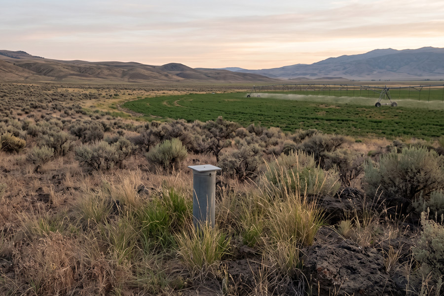
Oregon adopted new groundwater-management rules for the Harney Basin in December 2025, and the rules became effective January 14, 2026. Portions of the basin are now designated as a Critical Groundwater Area because of declining groundwater levels. The rules establish subareas, permissible pumping levels, individual allotment methods, and a long-term schedule intended to reduce groundwater use.
Seven Subareas Determine How Groundwater Will Be Managed
The Critical Groundwater Area is divided into seven management subareas: Dog Mountain, Lower Blitzen-Voltage, Northeast-Crane, Silver Creek, Silvies, Upper Blitzen, and Weaver Springs.
Each subarea has its own Permissible Total Withdrawal, or PTW. The PTW represents the annual groundwater pumping level established for that subarea under the rules. The management process compares individual water-right allotments and existing use against the PTW to determine how much reduction is required.
This means a Harney Basin groundwater owner should know more than the amount stated on a permit or certificate. The location of the well within a particular subarea is now an important part of understanding how the rules may affect future use.
Initial Allotments Depend on Historical Beneficial Use
OWRD will determine an initial allotment for each groundwater right within the Critical Groundwater Area. That allotment cannot exceed the amount authorized by the water right.
For irrigation rights, the adopted rule uses a duty of 2.5 acre-feet per acre and considers historical beneficial use from 2020 through 2024 when determining the number of acres that will receive an allotment. Municipal and quasi-municipal rights are treated differently. Their initial allotment is generally set at 110 percent of the greatest single-year quantity reported to OWRD during the 2020 through 2024 period. Other types of groundwater uses are evaluated using the limits of the right, historical beneficial use, physical ability to put the water to beneficial use, and other relevant factors.
Historical records therefore matter. Pumping records, irrigated acreage, maps, crop information, meter records, and other documentation may help establish what actually occurred during the relevant period.
The Reduction Schedule Runs From 2028 Through 2052
The rules establish a phased approach rather than requiring every reduction at once. Weaver Springs follows the most aggressive schedule, with 75 percent of the required total reduction scheduled for 2028 and the remaining 25 percent scheduled for 2034.
For the other six subareas, 40 percent of the total required reduction is scheduled for 2028, followed by 30 percent in 2034, 15 percent in 2040, 10 percent in 2046, and the final 5 percent in 2052. Those percentages apply to the amount of reduction needed to reach the subarea’s PTW, not automatically to 40 percent or 30 percent of every individual water right.
Priority Dates Determine Where Reductions Fall
Scheduled reductions are based on relative priority dates, with junior rights subject to curtailment before senior rights. Once the volume available within a subarea has been allotted to more senior rights, junior rights may receive a reduced allotment or no allotment under the corrective-control process. Exempt groundwater uses under ORS 537.545 are not subject to these reductions.
For groundwater users, the important question is therefore not simply, “How much will Harney pumping be reduced?” The better question is, “What is my subarea, what was my historical beneficial use, what is my priority date, and how does my right fit within the subarea’s PTW?”
Understanding those details now gives water-right holders time to review records and identify potential issues before corrective-control orders determine future pumping.